




"L’OPÉRA" arrive en ville !!!
2009-06-16 09:55:38 - by
Antoine Berlon
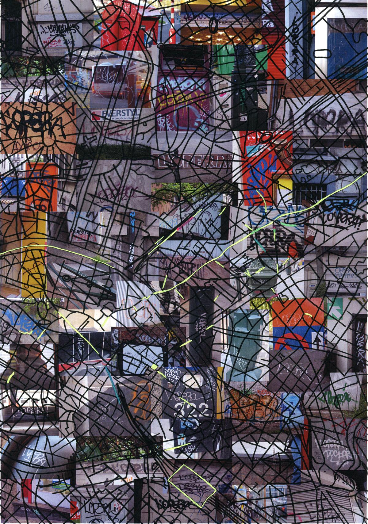
Cette carte a été réalisée par Rébecca Fruitman lors d’un travail de fin d’année pour l’académie des beaux arts. Résultat d’une investigation quant à l’identification de l’auteur de ce tag, une étude comparative a été effectuée au niveau des couleurs, des supports, des matériaux, du graphisme et des lieux. Le projet donne une visualisation du terrain d’action du taggeur repérable par sa signature "L’OPÉRA" (antérieurement par anagramme "PAROLE"). Ce taggeur utilise des matériaux différents et inscrit dans l’espace public de nombreuses signatures qui empruntent des techniques au graffiti ainsi qu’a la calligraphie.
Portrait intercontinental
2009-05-28 15:22:41 - by
Antoine Berlon
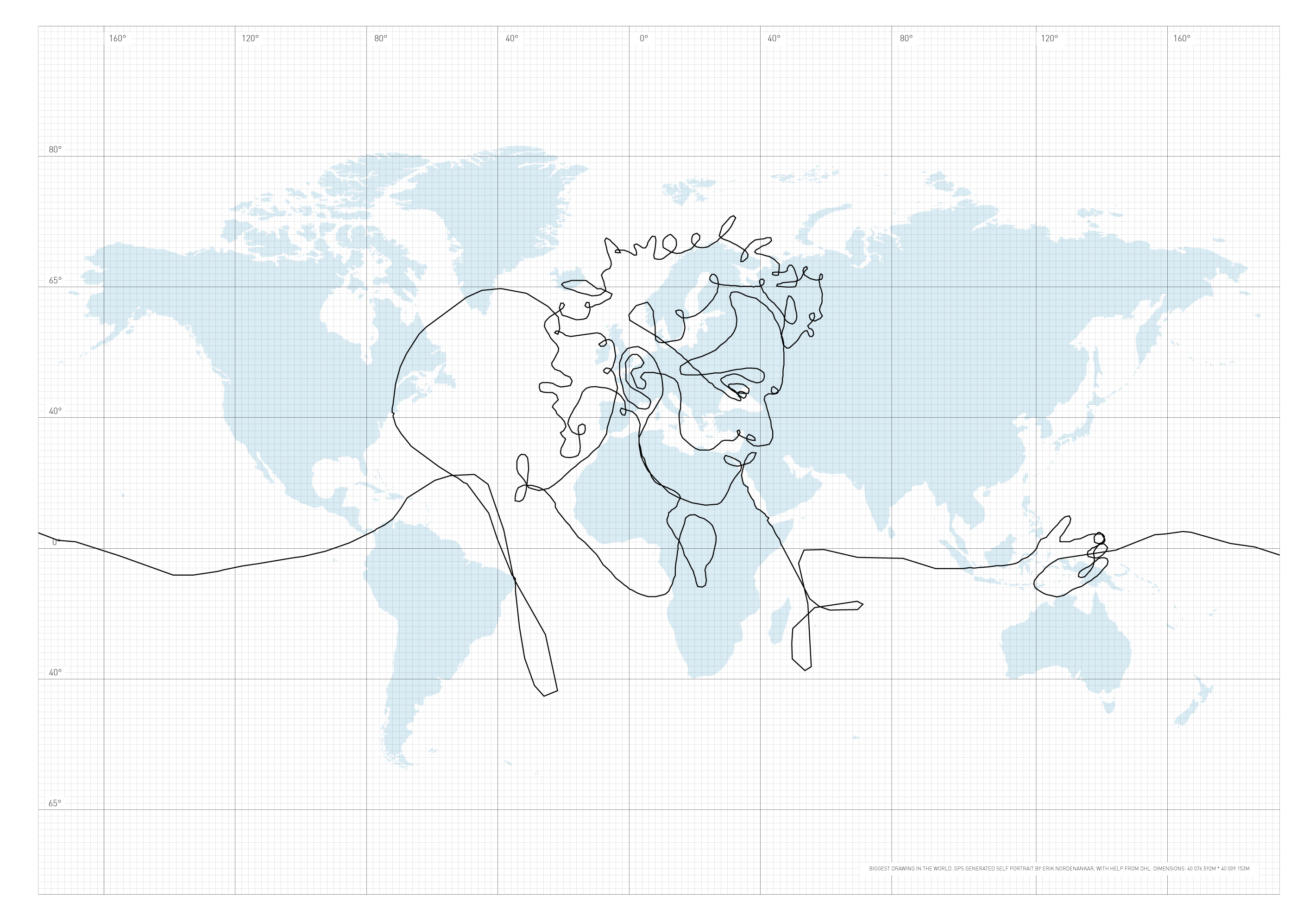
"The briefcase became my pen, the world my paper". Cette auto-portrait d’Erik Nordenankar a été réalisé grâce à une valise GPS qu’il a fait voyager aux quatre coins du monde via DHL. Le tracé virtuel s’étend sur 110 066 kilomètres : il peut donc prétendre à obtenir le titre "du plus grand dessin du monde". Retrouvez le tracé exacte ici
source : cartographie
Paula Scher
2009-05-08 11:42:28 - by
Antoine Berlon
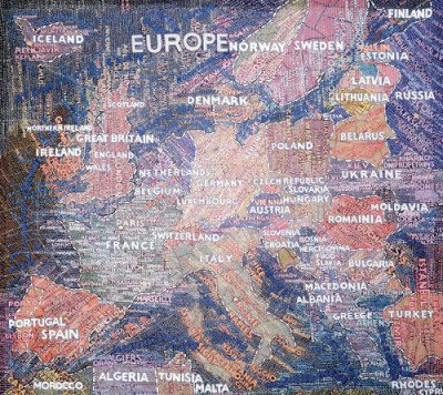
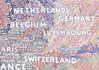
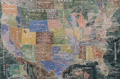
In the early 1990s, renowned graphic designer Paula Scher began painting small, opinionated maps—colorful depictions of continents and regions, covered from top to bottom by a scrawl of words. Within a few years, the maps grew larger and more elaborate. “I began painting these things sort of in a silly way,” Scher, a partner at the Pentagram design firm, said in a recent conversation. “And I think at one point I realized they would be amazing big. And I wondered if I could even do it. If I could actually paint these things on such a grand scale, what would happen ?”
“Paula Scher : The Maps”—on view at New York’s Maya Stendhal Gallery until December 17—is the answer to that question. The exhibition presents twelve painstakingly detailed map paintings—of the United States, South America, Africa, Japan, and the world—spanning five to twelve feet in width and teeming with the neatly lettered names of countries, cities, and landmarks. The results are remarkable. http://www.metropolismag.com/story/20051110/paula-schers-atlas-of-the-world
World Map
2009-05-05 10:58:43 - by
Antoine Berlon
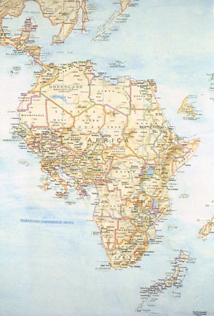
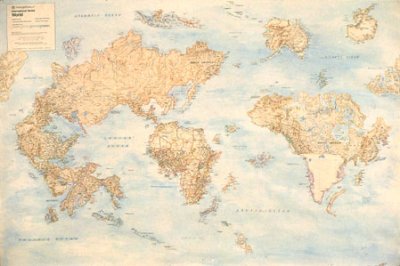
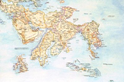
I made this map in college in response to an assignment, and it marks the beginning of my work with maps. Using a blade, I took apart a paper map, moving pieces over to a large piece of paper which I watercolored the same blue as the ocean in the original map. Gradually, the world was reconfigured. I often reconstructed words using presstype in places where the names of countries had gotten truncated. There were switches based on historical or geopological factors (Western Europe inserted into West Africa) ; others were based on formal correspondences or quirks of the map itself. Australia and Alaska had the same green border color, for example, and fit perfectly together due to the distortion of scale that occurs towards the poles.
Moss Maps
2009-05-05 10:42:32 - by
Antoine Berlon
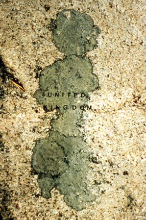
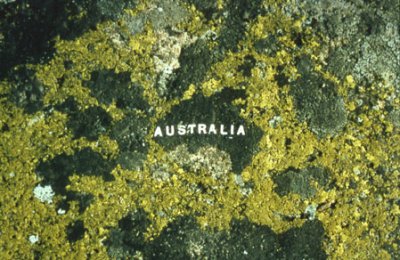
There is a type of lichen which is very common in the Finnish archipelago and my family’s summer house sits on a large granite hill covered with it. I have always seen certain shapes as islands or continents, and decided to affix rub-on letters directly to the lichens to identify them as the places I recognized. When I had finished, the whole hill had become a kind of scrambled atlas.
Cartes et arts
2009-05-05 10:27:20 - by
Antoine Berlon
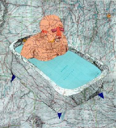
La cartographie est utilisée par de nombreux artistes pour créer des œuvres d’art : t : cartes Google Maps, cartes en 3D, cartes virtuelles ou cartes d’inspiration académique, tout est prétexte à les déstructurer, à les décomposer, à les broyer pour créer des collages, des objets, des images d’un univers à la fois raisonné et qui semble, de toute part, partir en déliquescence. D’une certaine manière, on avale des kilomètres et du bitume, on se fait des visites de pays entiers, on survole des continents et on revient toujours au même point de départ : moi, moi et encore moi.
http://googlexxl.blogspot.com/2007/10/art-et-cartographie.html
Bruxelles CEE
2008-03-25 16:52:37 - by
Rafaella Houlstan-Hasaerts
Françoise Schein, 1992.
Acier, bois, aluminium, objets, journaux, lumières (70x90x25cm). Collection privée. Reproduction courtoisie de l’artiste.
Cette boîte-sculpture présente le plan de Bruxelles modulé par les formes évidées des frontières de chaque pays d’Europe. La signification de l’oeuvre est double. En effet, celle-ci peut être lue comme un clin d’œil à la position fédératrice de Bruxelles dans l’échiquier géopolitique inter-européen : les formes évidées de chaque pays se croisent et se superposent en autant d’ondes de communication. Néanmoins, cette œuvre renvoie également aux disparités linguistiques et culturelles entre ces mêmes pays : dans les bords latéraux de la boîte se trouvent douze lucarnes lumineuses où sont exposées des coupures de presse de chaque nation.
Voir à ce sujet : Marie-Ange Brayer, Le Planétarium urbain de Françoise Schein in +/0 (revue bimestrielle d’art contemporain), numéro 51, octobre 1988.
Série de codes subjectifs selon Tiziano Lavoratornovi
2008-03-20 16:52:42 - by
Rafaella Houlstan-Hasaerts
Tiziano Lavoratornovi, 2006.
Dans le cadre de la première exposition towards à Recyclart, Tiziano Lavoratornovi a représenté par une série de codes subjectifs les multiples relations qu’entretiennent les différents lieux, collectifs et associations culturelles/activistes bruxelloises qu’il connaît.
Au travers du prisme de son expérience, ses données relatent l’histoire, les filiations ou interdépendances entre ces différents acteurs/activistes.
Integrated cities : Brussels Crispy
2008-03-13 15:26:41 - by
Rafaella Houlstan-Hasaerts
Françoise Schein, 1984.
Pastel sur papier (76x 57cm). Collection privée. Reproduction courtoisie de l’artiste.
Depuis de nombreuses années, Françoise Schein s’intéresse à la cartographie comme « rhizome » (au sens Deleuzien du terme), c’est-à-dire, à la carte comme production, comme construction, toujours démontable, connectable, renversable, modifiable, à entrées et sorties multiples, avec des lignes de fuite. Sa série d’oeuvres dénommée « Integrated Cities » tente de rendre compte de la complexité de villes telles que Berlin, Boston, Buenos Aires, Los Angeles, Lisbonne, New York, Paris, Rome, Oslo, Rio de Janeiro et bien entendu, Bruxelles en superposant une infinité de flux et de réseaux à l’espace géométrique et cartésien (le plan de ville). L’organisation spatiale que nous propose Françoise Schein dans « Integrated-Cities : Brussels Crispy » évoque un couloir sans fin, métaphore d’une ville générique et tentaculaire qui remet en cause notre image mentale de Bruxelles, figée dans ses limites administratives.
